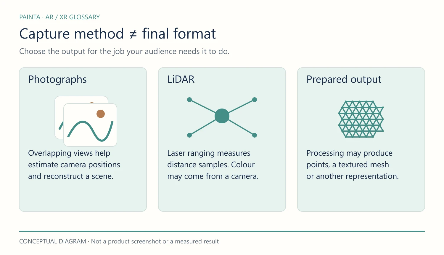
LiDAR measures distance using laser light. Many distance samples can be combined into a three-dimensional point cloud of an object or environment.
What it records
A LiDAR sensor sends out light and measures its return. Position and orientation information help place the samples in space. Colour, when present, may come from a separate camera rather than from the distance measurement itself.
For a gallery or museum
LiDAR can help capture the shape of a room or support a spatial survey. The right equipment depends on the required detail and accuracy: a consumer device and a specialist survey instrument are not interchangeable simply because both use LiDAR.
What still needs checking
Coverage, reflective surfaces, transparent materials and the capture distance can affect the result. A point cloud may need cleaning, registration and conversion before it becomes a useful model. Document the instrument and workflow if the data will support measurements or conservation decisions.
Does WebAR require LiDAR?
No. An image-tracked experience can use a normal camera to recognise and follow a prepared target. LiDAR is one possible source of depth information, not a requirement for every AR artwork or a guarantee that a particular browser feature will work.