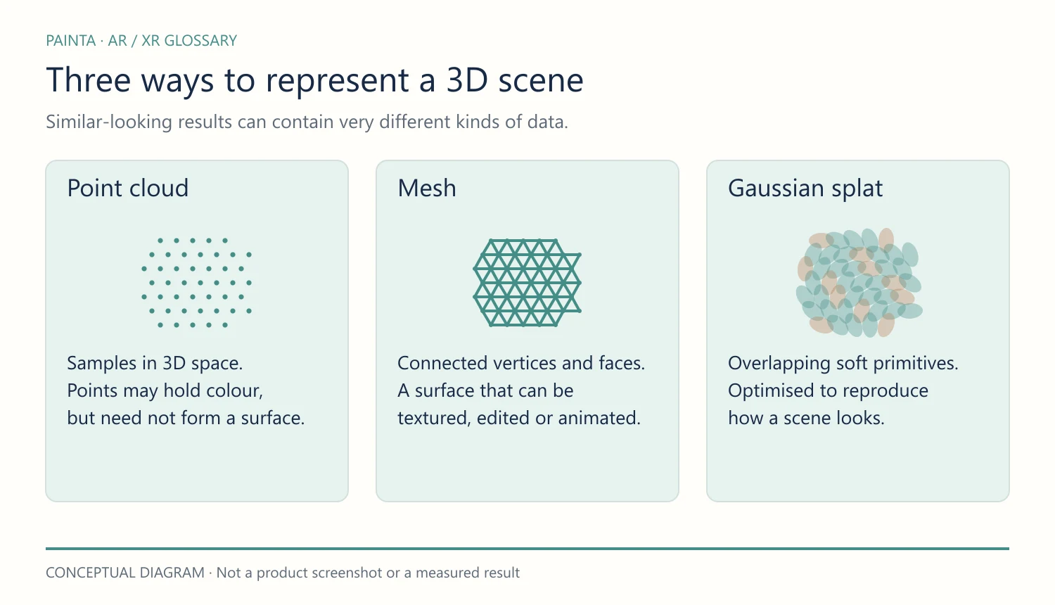
A point cloud is a set of samples positioned in three-dimensional space. Each point has coordinates and may also store information such as colour or intensity.
Picture a sculpture made of dots
From a distance, enough points can suggest a recognisable object. Look closer and you may see gaps between them. The points are samples; they do not have to be connected into the continuous surface of a mesh.
Where the points come from
LiDAR can produce distance samples, while photogrammetry can reconstruct points from overlapping photographs. The capture method and processing affect density, noise, scale and the detail that survives. More points alone do not prove that a capture is more accurate.
Why an artist or curator would care
A point cloud can help inspect a capture or preserve useful intermediate data before a model is simplified. It can also be an intentional visual medium: the dotted structure may become part of the artwork rather than something to hide.
Before using one in AR
Check whether the destination viewer accepts the point-cloud format. Converting points to a textured mesh is a processing step, not a filename change. Keep the original capture alongside any model prepared for web delivery.