Photogrammetry uses overlapping photographs to estimate an object's or a scene's three-dimensional structure and, when suitable reference measurements are available, its scale.
How photographs become a 3D asset
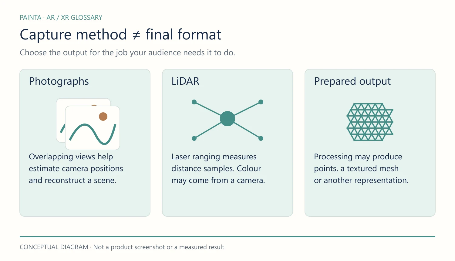
Software finds details that appear in several images and estimates the camera positions. Further processing can produce a dense point cloud, a surface mesh and photographic textures. These are separate stages: a folder of photographs is not yet a finished model.
Imagine documenting a sculpture
Photographing a sculpture from many positions can record surfaces that a single frontal image misses. Consistent lighting, sharp images and good coverage matter more than simply taking the largest possible number of photographs. Reflective, transparent or featureless surfaces can be difficult to reconstruct.
What the result does not guarantee
An attractive model is not automatically a conservation-grade record. Include a scale reference when measurements matter, document the capture method and inspect missing areas. A texture can conceal weak geometry when the model is viewed from one flattering angle.
Preparing it for an audience
A high-resolution master may be too heavy for a visitor's phone. Keep the master, then make a separate web version with an appropriate mesh and texture budget. If the destination is a Painta experience, check the exported model against its supported formats and test the final viewer on the devices visitors will use.
Related concepts and further reading
Splats, photogrammetry and 3D models
Agisoft Metashape manual: capture and reconstruction (PDF)